Tube & rail nearby
2 stations
Source: TfL stop points · live
Preview build on pages.dev — hammersmith.info domain not attached yet. Independent of Hammersmith & Fulham Council.
Neighbourhood guide
Parsons Green itself, New King's Road and the District line.
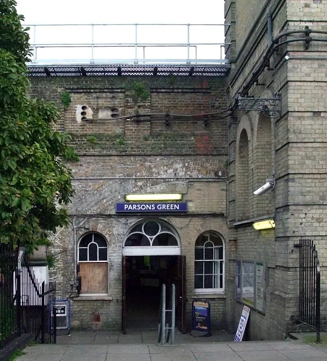
Leafy Parsons Green with café culture on the New King's Road and a District line stop in the middle of the green.
Counts from TfL and NHS open data tagged to this area (or nearest services). Borough figures below are LBHF-wide context — not ward estimates.
Tube & rail nearby
2 stations
Source: TfL stop points · live
Bus stops in area tags
42 stops
Source: TfL bus stops
GPs nearby
6 practices
Source: NHS ODS
Pharmacies nearby
5 pharmacies
Source: NHS ODS
Borough usual residents
190,216 people
Source: ONS MYE · mid-2025
Borough context — not ward-levelBorough density
11,598 per km²
Source: ONS MYE · mid-2025
Borough context — not ward-levelBorough median age
34.2 years
Source: ONS MYE · mid-2025
Borough context — not ward-levelBorough avg house price
£755,000
Source: UK HPI · Aug 2026
Borough context — not ward-levelOfficial Met Police area pages. In an emergency call 999.
Borough events by venue · Local news · Send a tip about Parsons Green